Harnessing GIS Technology: Transforming Land Management Efficiency Apr 22, 2026
Increasingly, land management requires the integration of vast amounts of data from diverse sources. GIS technology excels at collecting, analyzing, and visualizing spatial data, which is crucial for efficient land management. By utilizing GIS, Site Solutions can overlay maps with various data sets, such as topographic information, property boundaries, soil types, and infrastructure. This integration allows them to analyze complex scenarios with ease, thereby improving strategic planning and decision-making.
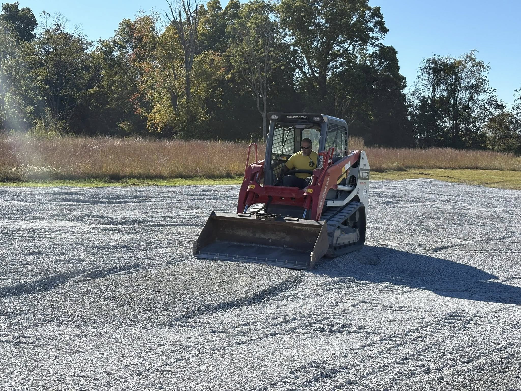
The efficiency introduced by GIS technology cannot be understated. Traditional land management processes often involve time-consuming manual tasks, such as surveys and physical inspections. With GIS, these processes become streamlined. For instance, instead of sending a team to inspect a site, GIS can provide a clear and comprehensive picture from the comfort of an office. The real-time data and satellite imagery that GIS provides mean that decisions can be made faster and with greater accuracy, benefiting all stakeholders involved.
Moreover, GIS technology offers unparalleled precision in land management. Site Solutions can use this technology to determine land suitability for various development projects. By analyzing soil data, proximity to resources, and potential environmental impacts, GIS ensures that land is used efficiently and sustainably. This precision mitigates risks associated with development, such as unexpected geological issues or environmental breaches, which in turn saves both time and money.
One of the most powerful aspects of GIS technology is its ability to enhance communication and collaboration. With GIS, Site Solutions can create interactive maps that stakeholders can easily understand and manipulate. This feature is particularly valuable when working with local governments, developers, and engineers. Having a clear visual representation of the land and associated data facilitates discussions and ensures all parties are fully informed. As a result, projects proceed more smoothly, with fewer misunderstandings or delays.
GIS technology also plays a pivotal role in environmental conservation within land management. Site Solutions can leverage GIS to monitor and protect ecosystems by tracking land-use changes and identifying areas at risk of degradation. This is crucial for ensuring compliance with environmental regulations and helping clients maintain a sustainable approach to land use. By using GIS to predict and avoid negative environmental impacts, Site Solutions not only protects natural resources but also enhances their reputation as a responsible land management service.
In conclusion, GIS technology is revolutionizing the way Site Solutions approaches land management. From improving project efficiency to enhancing data precision and fostering better communication, GIS offers significant benefits that reshape the industry. As GIS technology continues to evolve, its potential applications in land management are vast, promising even greater innovations in the future. By harnessing the power of GIS, Site Solutions stands at the forefront of modern land management, providing customers with cutting-edge solutions that ensure sustainability and efficiency in every project.
/filters:no_upscale()/filters:format(webp)/media/11f6e8cb-92d7-45c3-9c06-c1559693f02d.jpeg)