Pioneering Digital Tools: Revolutionizing Land Management with Precision May 04, 2026
The journey of land management from traditional practices to advanced digital solutions begins with understanding the challenges of conventional methods. Historically, land management relied heavily on manual surveys, physical documentation, and face-to-face negotiations. While these methods have stood the test of time, they come with limitations such as time consumption, human error, and difficulty in accessing accurate data.
Enter digital tools, redefining the landscape of this vital industry. Geospatial technologies, for example, are now playing a pivotal role in land management. Through the integration of Geographic Information Systems (GIS), landowners and managers can now access detailed spatial data instantly. GIS provides comprehensive maps and analytics that enable stakeholders to make informed decisions about land use, planning, and development. The precision afforded by these tools not only saves time but also enhances the accuracy and reliability of land assessments.
Beyond geospatial tools, the use of drones in land management is gaining traction. Drones, equipped with high-resolution cameras and sensors, can cover vast areas of land swiftly and efficiently. They provide real-time data that is critical for environmental monitoring and land development planning. The aerial perspective offered by drones facilitates a level of precision that cannot be matched by traditional ground surveys. This technological edge is particularly beneficial in large-scale agricultural operations, where crop monitoring and field mapping are essential for maximizing yield.
Digital platforms and software have also transformed how land data is stored, accessed, and analyzed. Cloud-based solutions ensure that data is both secure and accessible from anywhere, at any time. This accessibility means that land managers can collaborate seamlessly, share insights, and execute strategic decisions swiftly. These platforms often come with features such as automated reporting and real-time data visualization, allowing for enhanced oversight and operational effectiveness.
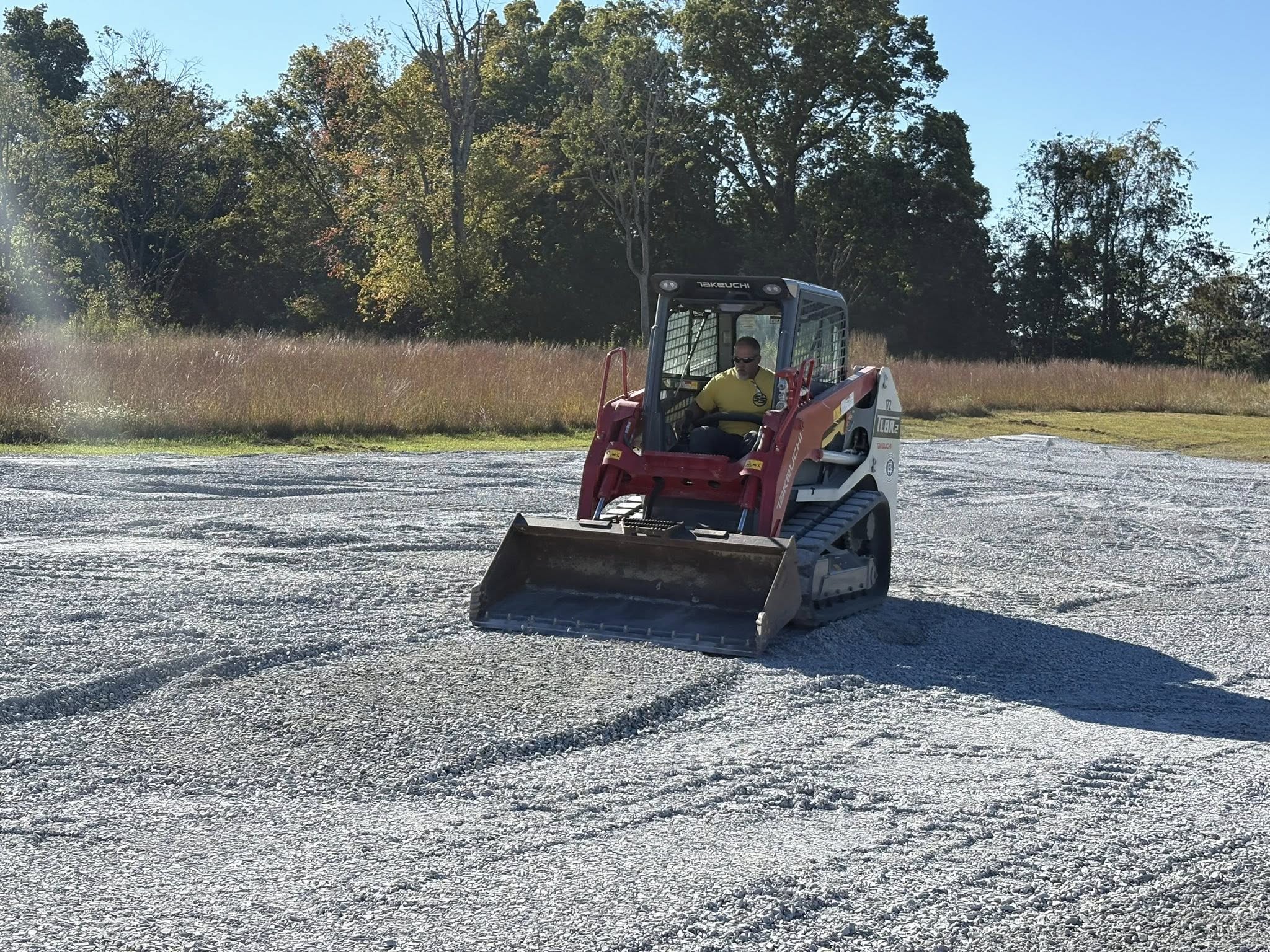
The implementation of these digital tools is not just about keeping up with technological trends; it's about driving smarter, more sustainable land management practices. Site Solutions is dedicated to harnessing these innovations to empower stakeholders with the insights and tools needed to make decisions that are not only profitable but also environmentally-conscious. As we look towards the future, the potential for these technologies to continue developing and integrating even further into land management practices remains vast.
In conclusion, the impact of pioneering digital tools on land management is undeniable. Companies like Site Solutions are leading the charge by embracing these innovations and setting new standards for precision and efficiency. Whether it's through geospatial technologies, drones, or advanced data management platforms, the benefits of these tools are clear: improved decision-making, increased efficiency, and sustainable land use. As the industry continues to evolve, those who adopt these tools will undoubtedly have a competitive edge in transforming their land management processes. As we continue to push the boundaries of what's possible, the future of land management looks brighter and more efficient than ever before.
/filters:no_upscale()/filters:format(webp)/media/11f6e8cb-92d7-45c3-9c06-c1559693f02d.jpeg)